The Lifesaving, City-Shaping Power of Parks & Greenways (TPS Ep. 12)

The Dequindre Cut Greenway, Detroit

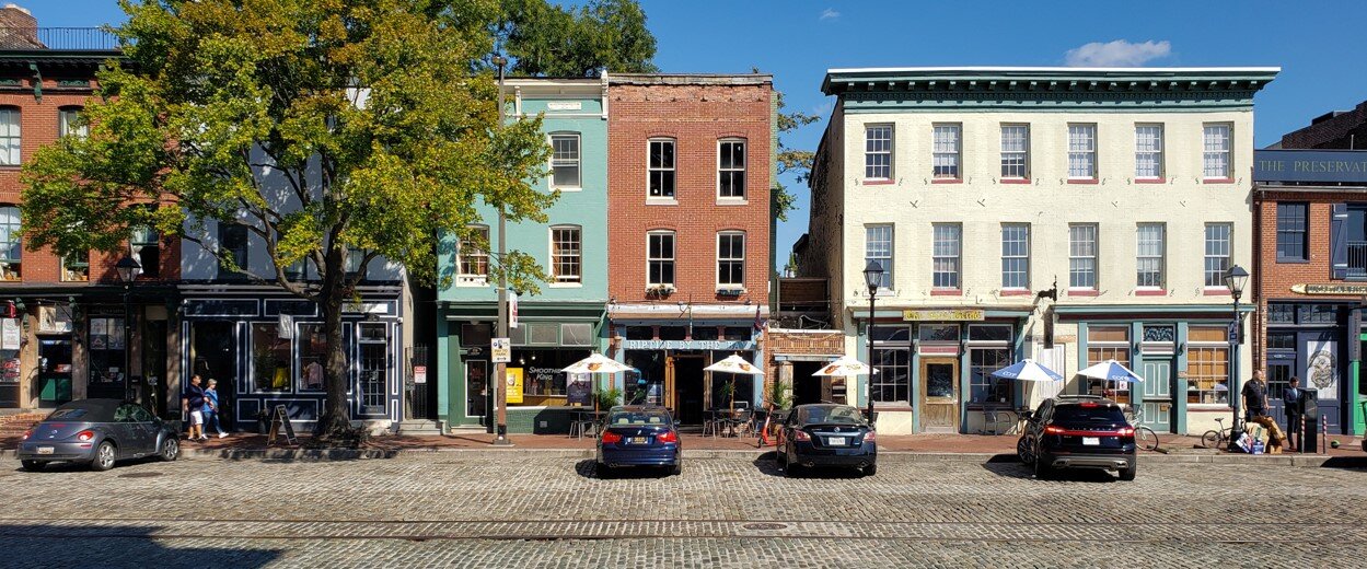
The design of a city begins with streets and squares and neighborhoods, but it also depends on its parks and open spaces, and the connections between them. Parks, greenways and blueways give form to the neighborhoods and bring nature into the city.

The Olmsted Vaux & Co. plan for Prospect Park, Brooklyn (1868)

Genesis of the modern planning profession

Kim Williams Trail, Downtown Missoula, MT

In many ways today’s practice of city planning was born with parks. Progressive reformers, concerned with public health in the smoky industrial cities, turned to landscape architects to create ample, green, open-to-the-sky spaces where people could relax amid nature, and the air and water could be cleansed. Frederick Law Olmsted’s idea for the Emerald Necklace of interconnected parks and green corridors in Boston was a public health idea, and a water-cleanup idea, not just a leisure idea. And the first American to identify himself as a professional city planner, John Nolen, was in fact a landscape architect by training, with a long career in parks planning already behind him as he began devising new towns and reshaping old ones.

These innovators realized the planning of neighborhoods and transportation corridors and the establishment of open spaces weren’t separate acts, to be dealt with in their own separate professional silos. And they understood that the green parts of a city aren’t just leftovers, to be ignored in between the built-up areas that receive all sorts of attention from architects, engineers and real estate developers. Instead, the natural and green parts should be subjects of design in themselves, allowing for restoration and maximizing community benefits and ecological values.

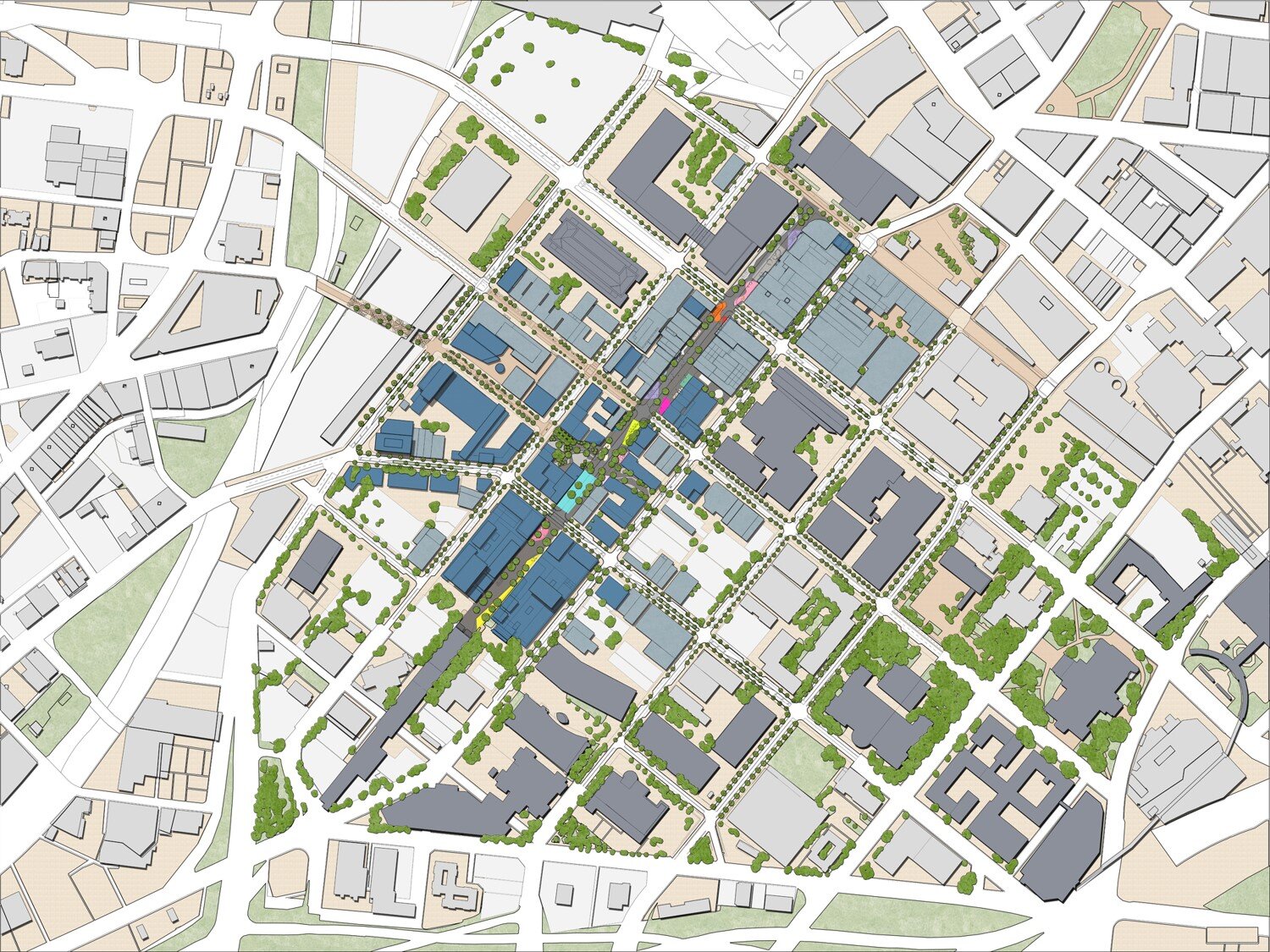
Starting a plan with the public spaces

Concept for a playground and neighborhood plaza from Plan El Paso (DK&P, 2012)

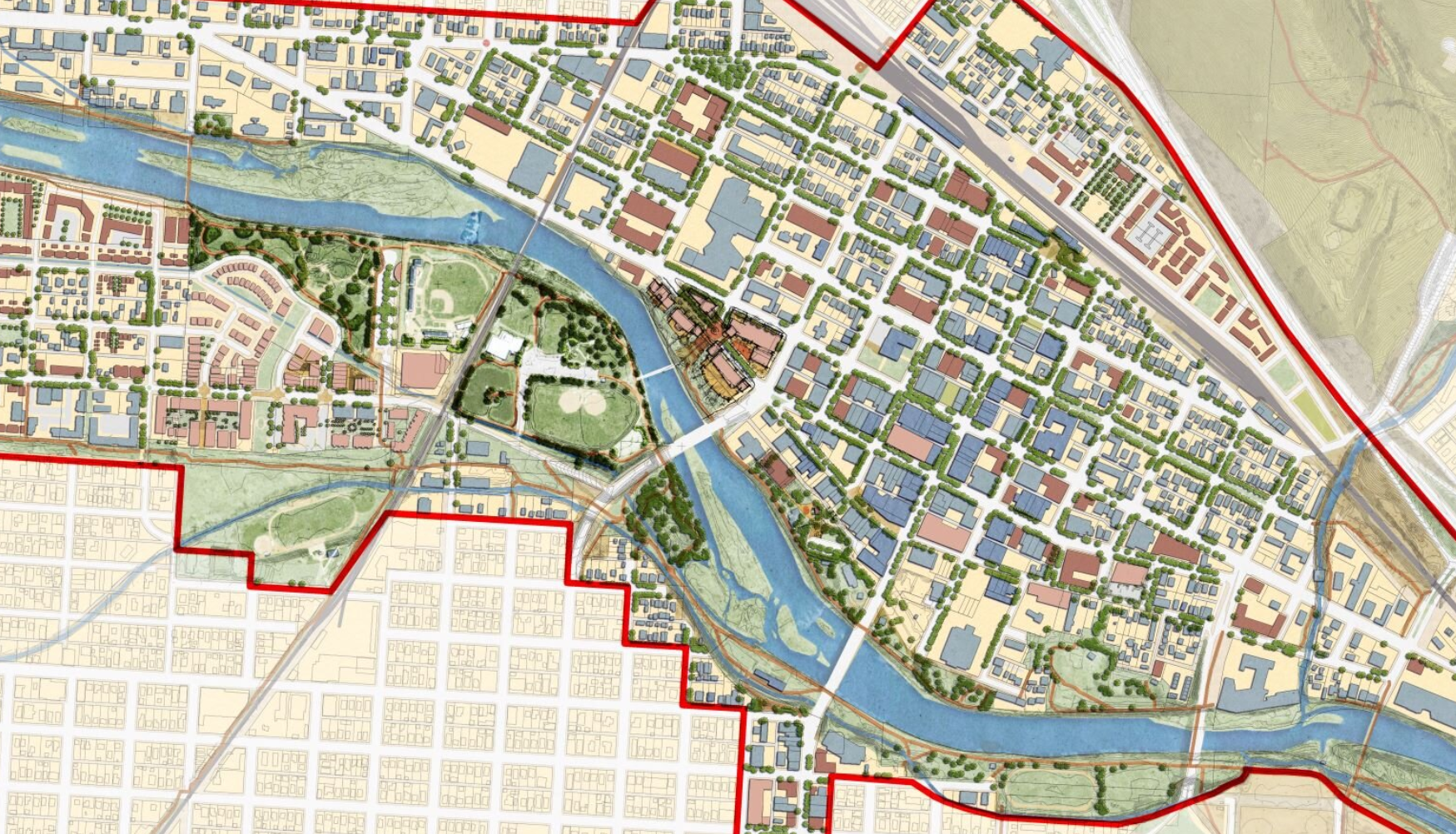
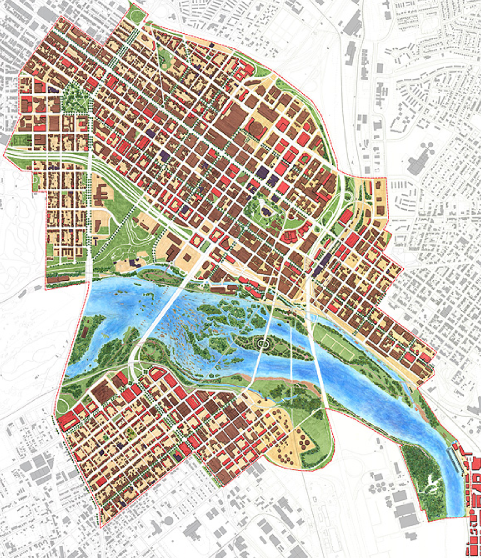
When we design a neighborhood, we begin with the green parts. We start with the tree-lined streets that link the small spaces where neighbors of all ages come together—including the youngest and oldest among us—and then work our way out to the playfields where children learn teamwork and grow fit, to the greenbelt or natural edges that shape the neighborhood, then to the trails or greenways that give respite in our busy daily lives.

Dover, Kohl & Partners’ original vision for Museum Park in Miami, 2001 (Illustration: Pedro-Pablo Godoy)

Starting with the public space makes life the focus of placemaking, and makes real estate development the backdrop. This is the right order of things, because public spaces are where our memories of cities are formed.
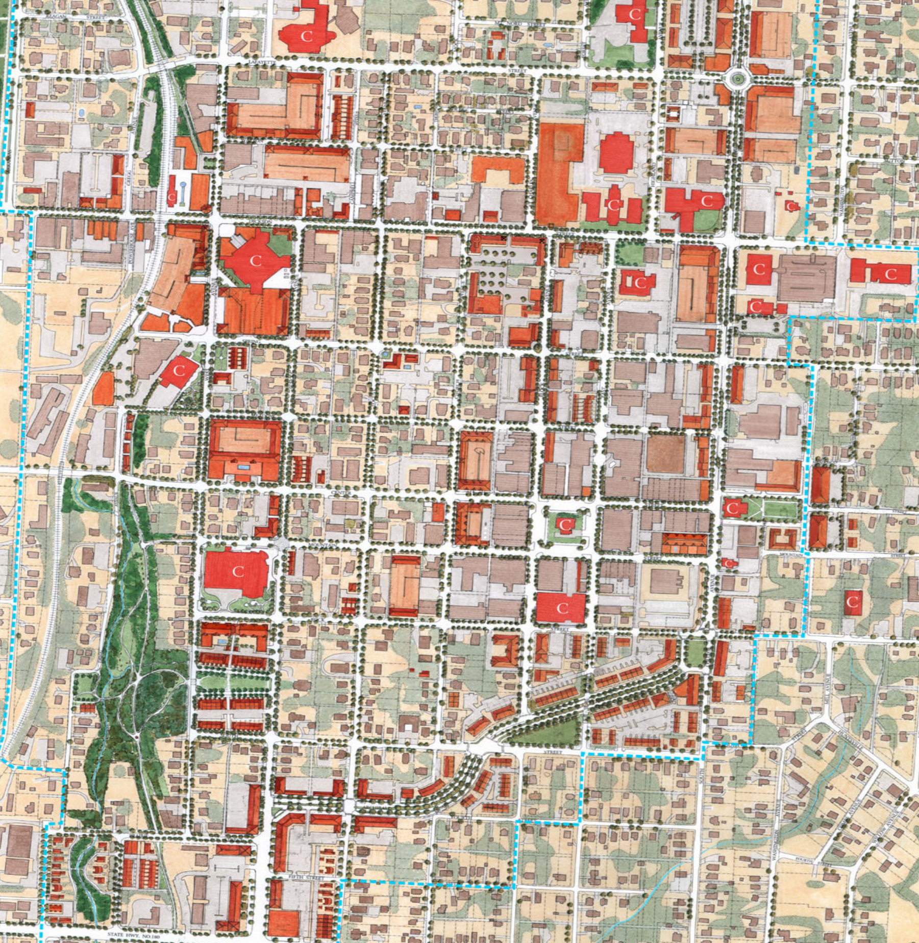
Silos

DK&P concept for transit-oriented development & public square along the South Dade Transitway (2018)

Dover, Kohl & Partners concept for a park in the heart of North Beach (2016)

Today’s parks and recreation programs are often operated in their own departments, separated from the day to day work of city planning departments, but their plans should be integrated, especially now, when park spaces hold the lifesaving, economy-saving solutions for urbanism in the era of climate change.

Pennypack Park, Philadelphia (Photo: Sandy Sorlien)

Rock Creek Park, Washington DC (Photo: Orhan)

Bryant Park, in Manhattan (Photo: James Dougherty)

The economic power of parks

Parks do cost money in a city’s budget, but they add value straight back to the city’s revenue base and to the wealth of surrounding property owners. They save taxpayers money, too:

  • In the seminal study of its kind, Pennypack Park in Philadelphia was shown to have a positive impact on the value of surrounding taxable real estate of $2,600 per household. That’s $3.36 million per year—in 1974 dollars. (That’s about $17.5 million in 2020.)

  • Each year, Washington’s Rock Creek Park results in nearly $9 million in additional property taxes to cover crucial municipal needs in the District of Columbia.

  • Bryant Park in Manhattan offers a story of return on investment. Thanks to its renovation in the early 1990s, with its famous movable tables and chairs, Bryant Park now draws visits from 20,000 people each day. Rents in surrounding areas rose 56% between 1990 and 2002; in the same period, rents on properties directly overlooking the park rose an astonishing 170%.

  • Physical activities in Sacramento parks yield an estimated $20 million per year in medical-cost savings alone.

Getting there

From Shutterstock / Stock Media Seller

A basic national goal has been set of having park space within ten minutes’ walk of every home. It’s a start. But it’s not just a matter of keeping the distance short—we also need good means of getting there. Nonmotorized transportation on bike-friendly, walk-friendly streets and multi-user trails are needed to connect our local parks to where we live and work and go to school. Once you arrive, a park should greet citizens with openness and a sense of welcome. In New York City, the Parks Department has spent the last several years removing the barricades and tall metal fences that once walled off the parks from the neighborhoods that surround them. Today we can see what NYC Parks Commissioner Mitchell Silver calls “parks without borders,” extending through these renewed connections to give everyone the option of a park life.

Even at the super-regional scale

Large-scale trail systems, like the East Coast Greenway, are gradually taking the interconnected web of park life to the next level, allowing for long nonmotorized commutes and bike tourism. The visions for these systems extend beyond the borders of municipalities and states, linking vast regions. It’s not a new idea. The proving ground for this super-regional approach was the beloved Appalachian Trail, first proposed by naturalist Benton MacKaye in 1921. MacKaye and his followers believed the key to human mental health and happiness was regular exposure to three “elemental landscapes,” essentially consisting of wilderness, working landscapes (like farms and working waterfronts), and cities. MacKaye saw park systems as offering a chance to offset the dehumanizing, de-naturalizing effects of mechanistic industrial work and brutal commerce—which he called “de-creation”—with what has since commonly come to be known as recreation:

“We need the big sweep of hills or sea as tonic for our jaded nerves - And so Mr. Benton MacKaye offers us a new theme in regional planning. It is not a plan for more efficient labor, but a plan of escape. He would as far as is practicable conserve the whole stretch of the Appalachian Mountains for recreation. Recreation in the biggest sense - the recreation of the spirit that is being crushed by the machinery of the modem industrial city - the spirit of fellowship and cooperation.”

Clarence Stein, 1921

Parco delle Rimembranze, Venice.

Green spaces and our physical and mental well-being

We know now that Olmsted, Nolen, Stein and MacKaye—among many others—were onto something big. Decades of scientific studies have linked regular access to green space for physical activity to chronic disease prevention, and the data show that just seeing green spaces speeds healing and boosts wellness. The NRPA Report from 2010 found that a thirty-minute walk among trees “lowers blood glucose levels far more than the same amount of time spent doing physical activity in other settings. Half-hour walks in forest result in larger drops in blood glucose than three hours of cycling.” The same report documents how twenty minutes of walking in a park improved concentration among kids with ADHD at least as much as two frequently prescribed ADHD drugs! Eight separate large-scale clinical studies found that regular visits to green spaces dramatically reduce stress (Stigsdotter, 2010 and Maller, 2008). Dutch researchers established that diagnoses of anxiety disorders are 44 percent higher in residential areas with less green space than in communities well-supplied with parks.

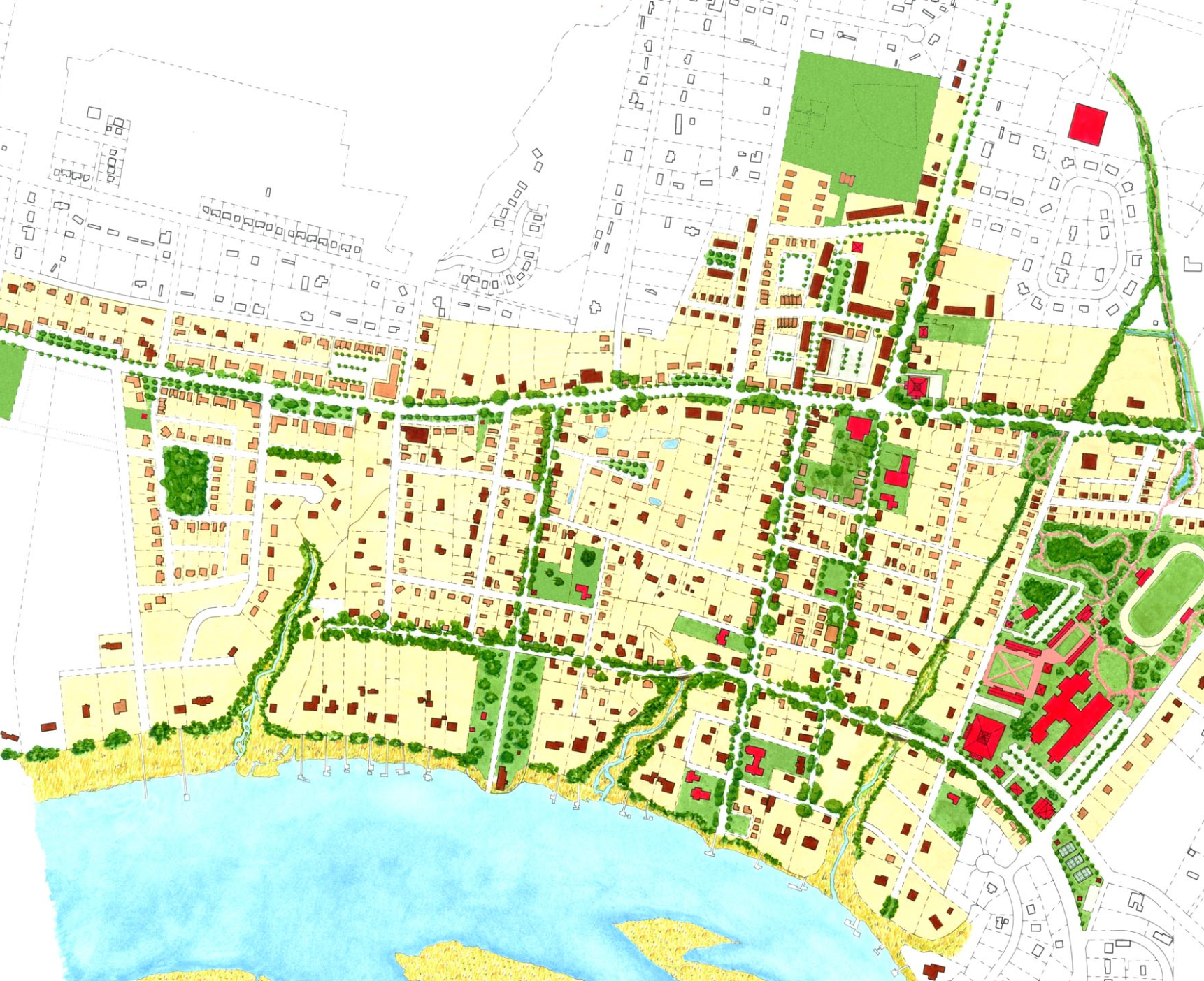
Listening to the land

The traditions in landscape architecture show us that parks, greenways and waterways take their best form when designers listen closely to the lay of the land, from the way the topography rolls, and folding in the natural courses of stormwater. Designed this way, the green weave supports not just human happiness but flood control, water quality, flyways for birds, pollinator corridors for winged insects, the food web, and adaptation to climate change and sea level rise.

The continuum of green: Newfield & its environs (Dover, Kohl & Partners, 2019)

Continuum of green

Pulling all this together, modern day parks-planning practitioners like David Barth describe a “continuum of green” that extends from the tiniest tot lot or pocket park, to the community garden, to the neighborhood square, to the recreational fields, to large scale parks, to restoration of wilderness and conservation areas, and beyond, all interconnected by greenways, tree-lined streets, broad green boulevards, and trails.

Parks, greenways, & blueways are spotlighted in Episode 12 of Town Planning Stuff Everyone Needs to Know. They are of primary importance and they affect everything. As Miami-Dade County’s parks director Maria Nardi likes to say, “Parks just might save the world.”

For more information, check out the Ten Minute Walk commitment campaign from the National Recreation and Parks Association, the Trust for Public Land and others. Also, go to NRPA’s website to learn how to become a Parks Champion.

Parks without borders: Neighborhood square conceived by DK&P for Raleigh (2008)

Street-Oriented Architecture (TPS Ep. 11)

Places where people like to be ALWAYS have street-oriented architecture. Have you had enough of the blank walls, garage doors, and parking lots along your si...

Perhaps the key distinguishing feature between vibrant urban places and the drab scenes Jim Kunstler once called “the geography of nowhere” is this:

Places where people like to be always have street-oriented architecture. The buildings are engaged with the street in some legible, designed way; there’s an indispensable building-to-street relationship that feels mutually reinforcing.

Anatomy of a main street storefront building

The street space, that “public room,” extends from building face to building face—so the way individual buildings are designed affects, and even creates, the experience we have in that space. Many traditional building types, lot layouts and architectural grammar evolved as they did for precisely this reason; they dependably create a good experience and present each building to its neighborhood in a respectable manner.

For example, porches within conversational distance of the sidewalk give houses a neighborly sociability, and provide an agreeable intermediate layer of space between the fully public street and the fully private interior. On intimate streets of rowhouses, stoops and dooryards leave no doubt about where the front façade of the building is.

The finished floors of most rowhouses in Old Town Alexandria are elevated above the sidewalk level for privacy.

In most cases, an elevated finished floor level on the first inhabited floor is useful because it gives the interiors of rowhouses and ground floor apartments an extra degree of privacy and dignity, offsetting the fact that they are so close to the public realm. If you’re walking by outside along the sidewalk, and the inhabitants have their curtains and shutters open, you might see their chandelier, but you won’t be staring at them sitting on the couch or seeing what they’re watching on television! You won’t feel like an intruder, and they won’t feel intruded upon. But here’s an important caveat: In our times, we also need to be sensitive when applying this traditional detail, by also making accommodations for accessibility and visibility. The traditional elevated finished floor makes access difficult for those in wheelchairs or with mobility impairments, so shared ramps, lifts, zero-step entrances into spaces below the piano nobile, slightly elevated alleys, and roll-in lobbies can all be employed.

Storefront buildings on King Street in Old Town Alexandria, Virginia. Small details of architectural grammar matter.

On commercial and mixed-use streets, well-designed storefronts are the key. Consider the anatomy of a traditional Main Street building. Again, the details of architecture intermediate between the public spaces and the private interiors. Awnings, arcades, colonnades, galleries and other appurtenances help us deal with the sun and rain, but they are also ways the architecture reaches out, engages with, and embraces the street space. On the most successful streets, there’s always a clear front door to each building, facing the street. Having frequent doors along the street reinforces the scene.

On main streets, mixed-use buildings should usually have an expression line just above the ground floor, such as a cornice or eyebrow, forming a base that separates the private upper floors from the public world of the commercial street scene below.

#WhatNotToDo

Now, compare all that to deep setbacks, parking lots in front, or to rows of garage doors and “snout houses,” and to blank walls. This soul-destroying pattern became commonplace in late 20th Century suburbia, yet it’s never been shown to work well at making a people-friendly place or street scene—not even once! By contrast, in traditional urbanism, pleasant streets and street-oriented architecture support each other, time and again. When the streets are hostile, we’ll invariably find buildings retreating from the street, recoiling, turning their backside toward the neighborhood.

#whatnottodo

Chattanooga. Photo: Kenneth Garcia

It’s not a style thing. Every architectural style, including modernism, has fine examples of street-oriented designs.

Street-Oriented Architecture: It’s number 11 on my list of Town Planning Stuff Everyone Needs to Know.  Check out Episode 11 of the series, and please share, comment, and subscribe. --Victor

The Power of Street Trees (TPS Ep. 10)

Main Street, Greenville, South Carolina

There’s one detail that makes a huge difference in the public realm, and that’s the humble street tree.

Landscape architect Henry Arnold once said, “Fifty percent of urban design is, street trees.” On a tree-lined street, look up; the canopy forms the ceiling of our shared public room. Arnold wrote, “An urban street without street trees is like a building without a roof.”

Cours la Reine, Paris

Shaping space while lending beauty, order

The Ladd’s Addition neighborhood in Portland

Line street trees up, and something magic happens. A tree-lined street is a deliberate intervention, an ordering of the public space, a statement in the common human language of geometry. It never fails to make a place where more people want to be.

One tree, many benefits

However, street trees are not just about making the place more beautiful and ordering the space, but also:

Shade - They shade our walks and bike rides. Street trees can lower the urban heat island effect, by as much as three to seven degrees Fahrenheit.

Legare Street, Charleston, South Carolina

Value - They make the city more economically potent. Two identical houses in otherwise similar neighborhoods will command wildly different prices, if one is on a tree-lined street and the other isn’t.

Water - They hold stormwater and clean up pollution.

CO₂ - Critically, they sponge up carbon dioxide, a key greenhouse gas tied to global warming, and then they make oxygen—and we breathe that stuff!

Missoula, Montana

Lower Cooling Costs - In summer, trees shade the buildings and that lowers cooling costs, as much as 35%, and they cut glare, leaving a delightful pattern of dappled light on our streets.

Place, Brand - Flowering trees and autumn leaves put on spectacular annual shows, drawing us to these places.

Troy, New York. Kenneth García photo

Warmth - And in winter, in temperate climates, deciduous trees lose their leaves to let light in to warm the sidewalks and buildings.

Traffic Calming - They keep us safer, calming traffic.

Habits can be broken

For part of the twentieth century, the street tree tradition faded amid compacted city soil, bad habits and poor assumptions. Convinced— by examples with meager, incorrect planting pits—that urban trees will never thrive and they’ll die young, decision-makers began to question whether they were worth the effort and expense. Public works officials started trimming budgets with the old line, “We’ll add the trees in a later phase.” Some minimalists, seeing starkness as a virtue, pulled their architecture away from trees into wide-open displays. Some landscape architects and arborists began to oppose traditionally aligned trees with close spacing, arguing that this geometry was too formal and dissimilar from the way certain trees grow in the wilderness, and pointing out that the roots under each tree need substantial space. They were willing to forgo the benefits and visual effects of allowing the upper branches to intersect with those of the adjacent trees and having more continuous shade for pedestrians. During the same period, departments of transportation were focused on speeding up and accommodating more cars rather than slowing them down. So they started to see shade trees as a liability, insisting on flimsy “frangibles” instead of the sturdy oaks, maples and elms customary in times past.

Get the planting details correct

Generous planting areas on the avenues of Chicago, Illinois

The turnaround came as landscape architects like Arnold and others realized that, with the right planting details and species choices, urban trees can indeed thrive. Much depends on the preparation of the hole in which the tree will be planted. For example, for the Live Oaks common on streets here in Florida, one key is not only allowing for a larger area of loosened soil below ground for the primary roots seeking water, but also for a larger open area up top around the tree, where fine hair-like roots seek air and filtered sunlight. Our landscape architect Jay Hood specified an innovative planting system for Park Avenue in Winter Park that freed the tree trunks from tight wells with metal grates and allowed for walkable surfaces to float above the roots and loosened soil below. Those trees have defied all expectations and grown quite tall. Many people are surprised to learn they were planted so recently.

In the last couple decades, new techniques and products have emerged to improve the success of street trees in urban areas where space is tight and impervious surfaces predominate. So-called “structural soil” and underground suspension systems have become common. These allow the roots to spread within loosened soil without ramming into excessively compacted earth, yet they solve the problematic lifting of sidewalks.

Green Blue Urban’s tree root system, undergoing installation in Thomasville, Georgia. Rick Hall photo

On wide boulevards and leafy residential streets where trees can be planted in linear, continuous landscape strips, your crew can dig a long trench for the whole tree line rather than individual circular holes. After planting and backfilling (avoiding too much compacting), this produces a larger area of loosened soil for the roots to explore. Naturally this requires thinking ahead about the alignment of underground utilities, drainage, and other details. Bottom line: Consult a competent professional on the right way to plant your street trees.

Beautiful exceptions: Cour du Commerce Saint-André in Paris, and Calle Malasia, in Buenos Aires’ Belgrano neighborhood

Exceptions to the rule

For all the reasons we’ve reviewed, on most of our streets and in most of our communities, we’re better off with lines of street trees, especially in temperate, moderately humid climates. But there are exceptions to this rule. For example, extraordinarily arid places where water is scarce or costly call for other solutions to supplying shade and visual interest, such as narrow streets with buildings brought closer together and cantilevered architectural elements that encroach beyond the building envelope. Fewer trees can also be best for far-north climates where letting more sun in during the many shortened days outranks having shade on the rare warm day. Even in a sunny place where trees grow easily, we might still opt for a unique, skinny, tree-less street here and there in a neighborhood plan, to diversify the addresses and experiences on offer. There are also many kinds of commercial streets and passages, and not all require shade trees; some replace the canopy effect with suspended fabrics, galleries, or portals; others establish the visual interest with creative signs and artwork or palms or flowers instead of shade trees. With or without trees, we also take care to keep clear lines of sight to signage and storefronts on mercantile streets. In Street Design, we also wrote about the usefulness of what Raymond Unwin called the “lean-in” tree, planted in the adjacent garden instead of within the right-of-way.

As with every other detail in city design, context is crucial.

Standard equipment for great cities

When they’re right, they’re right, which is most of the time—so street trees are not just a decorative frill, something to be cut when the budget’s tight. They’re mission-critical equipment in making good, resilient cities and towns, and that’s why they’re number ten on my list of Town Planning Stuff Everyone Needs to Know.

For more information, check out my TEDx talk (it’s a love poem to street trees), and read what John Massengale and I wrote about “The Seven Roles of the Urban Street Tree” in Street Design: The Secret to Great Cities and Towns, or read Henry Arnold’s classic, Trees in Urban Design.   --Victor

Episode 10 of Town Planning Stuff Everyone Needs to Know is all about street trees. This episode is illustrated with photos, diagrams and video from Yellow Springs, Ohio; Rochester, Buffalo, Brooklyn and Manhattan, New York; Barcelona, Spain; Washington, DC; Guilin, China; Stockholm, Sweden; Chattanooga, Tennessee; Paris, France; Greenville, SC; and Miami, South Miami, Coral Gables, Lake Wales, and Winter Park, Florida. Next episode: Street-Oriented Architecture.

Pont Street, London

Walkable Street Design: 5 Must-Haves (TPS Ep. 9)

People first

The latest episode of Town Planning Stuff Everyone Needs to Know is about street design. That’s because all successful towns are walkable, and design is the key to that. Design for pedestrian safety and happiness simply can’t be an afterthought, merely considered—if at all—only after all the automobile-related decisions are already made.

Bologna, Winter Park, and Rome

“Walkability,” in this context, is really a stand-in word for pedestrian friendliness and bike-friendliness and accessibility for all, including folks in wheelchairs or with other mobility challenges. Walkable streets don’t just technically allow for people outside cars, they’re welcoming, attractive, less stressful, and livable. A perfunctory sidewalk right next to whizzing cars or a faded painted stripe indicating a bike lane are definitely not enough.

Main Street, Galena IL

Main Street and its environs, Galena IL

Design is indispensable

We should start with walkability as an essential baseline, and then work our way out to all the other considerations like truck access, parking and the like. That’s because the best streets are more than mere transportation corridors—and more than just functionally walkable rights-of-way. When their designs are artful, these streets become unique addresses, places where people especially want to be. Streets need what Steve Mouzon calls “walk appeal” in order to inspire citizens, ignite commerce, and attract real estate investment. Eminent urbanist Allan Jacobs, who inspired generations with his book Great Streets, pointed out that some thoroughfares can even mature into the ranks of what he termed the “great world streets,” distinctive landmarks that endure and set their cities apart from their peers.

Good or great, streets come in many sizes and designs. Immense variety is possible. Upcoming episodes of Town Planning Stuff describe the eleven fundamental street types, and as we’ll show, there are many, many variations on each.

Commonwealth Avenue, Boston. C. Podstawski photo

Five basic features

While there are many options in street design, we find there are a few must-have features always present in people-first streets. These features dependably draw people—and these are features your elected officials can demand in your town. That demand usually has to come from both the grassroots and from the top. As former longtime Charleston mayor Joseph Riley has said, “The mayor is the chief urban designer of the city.”

Rue St. Jean, Quebec: Shaped, comfortable, connected, safe, memorable

First, good streets are shaped. The street space is given a designed form, like an outdoor public room, with the roadway and sidewalk its floor, the buildings its walls, and, sometimes, its ceiling formed by the tree canopy.

Second, they’re comfortable. In most climates that means shaded in the summer. Street trees, and architectural elements like porches, arcades and awnings, moderate the elements.

Rue St. Jean in the evening

Third, they’re connected. They lead somewhere. The streets that feel like what Kaid Benfield calls “people habitat” are usually hooked into the larger network, linked to the rest of the town.

Next, they’re safe. That means you aren’t stressed out about getting run over by a vehicle, because motoring speed is slower by design. You’re also safer if you have what Jane Jacobs called “eyes on the street.” The safe street isn’t faced by blank walls, but by doors and windows and porches and balconies and storefronts.

Lastly, the streets where people really like to be are memorable. They make lasting impressions because beauty surrounds us and human creativity is on display, in architecture and art and signs and landscape design. An artful spatial design, with composed vistas, ratchets up these powerful impressions.

“Umbrella Sky” on Giralda Street, Coral Gables

Walkable street design: It’s #9 on my list of Town Planning Stuff Everyone Needs to Know. For more information, subscribe to the Dover Kohl YouTube channel, or read the book John Massengale and I co-wrote, Street Design: The Secret to Great Cities and Towns.     --Victor

To illustrate many of the ideas in Episode 9, we used downtown West Palm Beach's premier street, Clematis Street. Here’s a closer look at our design for its reconstruction: Safe, Slow, Curbless, Shaded, Adaptable.

The World Between Buildings (TPS Ep. 8)

Episode 8 begins a block of five short films on city life as it’s experienced outdoors, between buildings. Upcoming episodes focus on walkable and memorable streets, the importance of street trees, street-oriented architecture, and parks, greenways and blueways.

The "public realm" is where our first impressions of your whole city are formed. In this video, urban designer Victor Dover outlines how these spaces between...

The public realm

Towns and cities speak to us through their outdoor spaces—the public realm, the world between the buildings. Those public spaces, whether street or parks or squares or plazas, are composed, given their shape and focus, by the design and placement of buildings and the landscape. There’s usually a sense of enclosure and completeness where the public realm is strong. Sometimes the space is narrow, sometimes wide, at times intimate, at times opening up to and contrasting with long vistas.

Street-oriented architecture is a vital ingredient for a positive experience in the public realm.

Your city is a communications device. It’s sending you a message. Is it welcoming people?

Wide or narrow, as you move about the neighborhood day to day, the public realm is where you’re spending your time. And when that public realm is thoughtfully planned and designed, it sends you a message of confidence and comfort and neighborliness. It’s where memories are made, where friends can meet, where ideas are exchanged, where commerce and art and culture and civic life intersect.

Caveat: It could be sending everyone the wrong message.

Warning: Your public realm could be sending all the wrong signals

It’s easy, however, to get it all terribly backwards, and when the public realm is starved for attention and quality, it sends exactly the opposite message: that this is a place where nobody cares, a message of uncertainty. The public realm is where our impressions of the whole city or countryside are formed— for good or ill.

The public realm is just as important in rural places

Experiences

What experience is your neighborhood offering?

The public realm is crucial everywhere, but it’s especially so in cities that need to attract population and investors for revitalization, and in tourist destinations. Give people a good experience, and they’ll return, and help you build a stronger economy, a better tax base, and a creative culture.

If you want people to return, your public realm has to exude confidence. The design is crucial.

The public realm matters, so whether you’re a mayor or a real estate developer or just a taxpayer, it needs your attention. That’s #8 on my list of Town Planning Stuff Everyone Needs to Know. For more information, check out the Dover Kohl YouTube channel. —Victor

Mixing Land Uses = Convenient Daily Lives (TPS Ep. 7)

Burbage’s Grocery, in Charleston SC

Burbage’s Grocery, in Charleston SC

A big part of the convenience and functionality of traditional towns comes from their mix of land uses. Episode 7 of Town Planning Stuff Everyone Needs to Know, Mixing Land Uses,” reaches screens Monday, May 24 at 2pm. (Please share it, and subscribe to our YouTube channel to get notified about upcoming episodes. And, watch the episode for some cool new animations by Theresa Dover.)

Ever wonder why there's so much driving going on? What makes historic neighborhoods so popular? Watch this intro to the benefits of planning for mixed land u...

Instead of pushing the needs of daily life farther apart from one another—as became common in the suburban zoning experiment after World War II—the time-tested way of building a town is to deliberately bring a range of human activities closer together. That way, you can find many of the things you need right in your neighborhood, within walking distance.

For example, you might be able to walk from your home to a corner store or a café without having to drive there-- and without having to search for a parking space! Our client and collaborator, traditional neighborhood innovator Vince Graham, argues that “mixity” is more important than density when sizing up the impacts of development.

Vince Graham, founder of Newpoint and I’On, with one of the places we’ve designed together, seen in Ep. 7

Vince Graham, founder of Newpoint and I’On, with one of the places we’ve designed together, seen in Ep. 7

Just a little bit of mixed use brings many benefits:

Shorter Trips, More Workable Transit, Less Carbon

Some trips out on the regional road network get shortened. Others get eliminated, captured within the neighborhood. And still others become feasible for walking, biking or transit. All of that helps manage regional traffic. Plus, with those shorter trips you’ll lower everyone’s carbon footprint.

Flexibility, adaptability and historic preservation in Fells Point, Baltimore

Flexibility, adaptability and historic preservation in Fells Point, Baltimore

Flexibility, Historic Preservation

But that’s not all. Mixed land uses allow for organic, economic choices and change over time, letting the market have more sway over the mix. That, in turn, also supports the adaptive re-use of beloved historic buildings, extending their lifetime.

Balance, and Getting to Know the Neighbors

Live/Work combinations— also known as zero commute housing— and mixed land uses allow for a better jobs/housing balance, which can be key to a municipality’s sustainable tax base, lowering the costs for households, businesses and government. And above all, in a mixed-use neighborhood you’re simply more likely to get to know your neighbors and support local businesses. Psychologist Susan Pinker reports that studies definitively show what she calls The Village Effect: face-to-face interactions are crucial for a sense of contentment and for longevity, especially in an era when high tech devices tend to isolate us. She writes: "Neglecting to keep in close contact with people who are important to you is at least as dangerous to your health as a pack-­a-­day cigarette habit, hypertension or obesity."

The Italian island of Sardinia has more than six times as many centenarians as the mainland and ten times as many as North America. Why? According to psychologist Susan Pinker, it's not a sunny disposition or a low-fat, gluten-free diet that keeps the islanders healthy -- it's their emphasis on close personal relationships and face-to-face interactions.

For all these reasons and more, mixed-use neighborhoods are incredibly popular with both households and employers, attracting people and attracting jobs. That’s why Mixed Land Uses are #7 on my list of Town Planning Stuff Everyone Needs to Know. For more information, check out doverkohl.com, or read the now-classic book The New Urbanism by Peter Katz (McGraw-Hill, 1993).

—Victor

Downtown: Shared by All (TPS Ep. 6)

Episode 6 of “Town Planning Stuff Everyone Needs to Know” is about downtowns, and it posts 5/18/2020 on our YouTube channel.

Have you ever stopped to think about which neighborhood is the most important one in your city?

The thing about a downtown is, it’s everybody’s. No matter where you live in a town, if your town’s downtown neighborhood is doing well you probably have a sense of shared ownership and pride in that place. 

When a town grows to the size of several adjoining neighborhoods, it will start to need (and deserve) some things that most individual neighborhoods can’t support all by themselves, like a larger central gathering place, or a Main Street, and seats for the most important shared civic institutions, like City Hall. In healthy cities these are almost always found among workplaces and housing and lodging and places to shop and eat in the downtown neighborhood or center.

When they’re allowed to, downtowns naturally evolve to become mixed-use, mixed-income, multi-modal precincts. Jane Jacobs put it this way:

“The [downtown], and indeed as many of its internal parts as possible, must serve more than one primary function; preferably more than two. These must insure the presence of people who go outdoors on different schedules and are in the place for different purposes, but who are able to use many facilities in common.”

“The Need for Mixed Primary Uses,” from The Death and Life of Great American Cities

Variety, planned on purpose, like you mean it

The wide variety in neighborhoods and building types within the core of a traditional city ultimately provides opportunities for people of all ages, backgrounds, cultures and income levels to live and work together. In contrast to suburban development, which generally offers only the single-family detached home, traditional cities offer a range of housing options, including single-family homes on smaller lots, rowhouses, garden apartments, the loft conversions that are transforming many former industrial districts, and, in some cases, midrise and highrise options for the people Frank Lloyd Wright once called “cliff dwellers.” Each of these housing types is located within mixed-use blocks, allowing for residents to meet their daily needs and conveniences in a dynamic urban neighborhood. As centers of commerce and trade, downtowns also provide an incredible variety of employment opportunities. With a city’s commercial and residential life follows cultural facilities and retail establishments. Young professionals, CEOs, students, doctors, government officials, shopkeepers, retirees, and families alike can all find their place in the heart of the city, due to the incredible diversity of jobs, housing types, cultural amenities, and (hopefully) varied means of transportation. This incredible range of land uses, housing types, employment, and income levels within a traditional urban fabric provides the freedom of choice, a privilege not afforded to residents of mono-functional suburbs.

Renaissance underway (but there is a catch)

Downtowns, even the ones that fell into decline 40 or 50 years ago, are naturally set up to once again become places where people want to be. But they need tender loving care. You must not force suburban zoning or parking requirements or street designs on your downtown, and if that’s happened already, your city is not alone, but it can join the ranks of the cities that have begun reversing the process.

The good news is, Americans have rediscovered their downtowns, in small villages, medium-sized towns, and big cities. According to Walkable Urbanism author Christopher Leinberger, half our downtowns are already revitalizing, and the other half soon will be. Your downtown is the most important neighborhood in your city, shared by all. And that’s #6 on my list of the Town Planning Stuff Everyone Should Know.

For more information, subscribe to the Dover Kohl YouTube channel, and also read up on the Main Street program of the National Trust for Historic Preservation. —Victor

P.S. Next week: Episode 7, Mixed Land Uses

Every Neighborhood Should Have These Five Things

This one’s all about neighborhoods: Episode 5 of Town Planning Stuff Everyone Needs to Know reached screens Monday, May 11, 2020 via social media and our YouTube channel, and it includes some striking animations by Alex England, Kenneth Garcia, and Pablo Dueñas.

Neighborhoods are the basic building block of a city or town.

In 1929, Clarence Perry documented what he called “The Neighborhood Unit.” His classic diagram remains useful; it’s been updated several times since, including in the early 1990s by Gary Greenan and Lizz Plater-Zyberk for AIA Graphic Standards, and again in 2007 for Doug Farr’s book Sustainable Urbanism.

Clarence Perry’s “Neighborhood Unit.”

Clarence Perry’s “Neighborhood Unit.”

When you have one neighborhood standing alone among the farms or in the woods or the wilderness, that’s a village. When growth leads to several of these neighborhoods positioned tightly together, you get a town, and, with even more neighborhoods, a city. In this way, small towns and big cities like Paris or New York or Washington are all cities made of neighborhoods.

Neighborhoods: the fundamental unit of city building.

Neighborhoods: the fundamental unit of city building.

The five crucial ingredients

Neighborhoods vary a lot, but they have five basic characteristics. We keep these in mind when planning a new neighborhood or when carefully updating or restoring an existing one.

Compact, complete, connected, convivial.

Compact, complete, connected, convivial.

First, a proper traditional neighborhood has an identifiable center & edge. You know when you’ve arrived at the heart of a neighborhood; large or small, it almost always has a deliberate, consequential public space, shared by all. You will typically find a square or plaza, and a noteworthy civic building or landmark (and in the best examples, some locally-serving commerce). Edges, on the other hand, vary greatly. While historically a fortified town might have had a wall for protection, that has thankfully evolved to more inclusive and welcoming physical identifiers. The boundaries between neighborhoods might simply take the form of a mixed-use main street shared by several adjoining neighborhoods, forming a “seam” instead of a seal. Or the edge can be a greenbelt of parkland, forest or farmland, or a water body, or a transit or greenway/trail corridor, or some other feature. All that being said, centers are arguably much more important to the neighbors’ well-being than the edges; the centers are where the bonds of community are most firmly formed.

Second, the neighborhood is limited in size, about five minutes’ walk from center to edge. That’s an easy distance to navigate without driving. It’s also an amount of territory that is easily mentally mapped, committed to memory in great detail, and in an area this size people come to know many of their neighbors. Parents in traditional neighborhoods tend to allow their children greater freedom to roam for these reasons. Five minutes’ walk results in a radius of about a quarter of a mile, but that’s a rough measurement only; neighborhoods are almost never circular! Perry’s neighborhood unit envisioned idealized neighborhoods at a size of about 160 acres, but in practical application we find traditional neighborhoods range from about 40 acres to about 300 acres. Larger sites are designed as multiple neighborhoods. Although there are many ways their edges are defined physically, real neighborhoods don’t extend endlessly across the horizon.

Next, it has a mix of land uses & building types & housing types and prices. That variety allows for some of life’s basic daily needs to be satisfied within the neighborhood. (More on this coming up in Episode 7, on mixed land uses.) An old rule of thumb says, if you can buy a quart of milk within 5 minutes walk, that’s a more livable neighborhood. That’s also a neighborhood where you’re more likely to walk or bike, burning calories instead of fossil fuels. We don’t use the term “neighborhood”to describe vast, standalone precincts of a single land use, like tract house subdivisions, apartment complexes, office parks, or shopping centers. Variety in the housing types and sizes welcomes a wider range of households and income levels, making it possible to blend generations, improve inclusiveness, and to avoid socially harmful concentrations of poverty.

Fourth, the neighborhood should also have an integrated network of walkable streets. Making the streets connected, beautiful and walkable are all key to fostering a healthy culture of physical activity, making public transit viable, creating great addresses that add value to real estate, and more. (Episode 8, on the public realm, and Episode 9, on walkable street design, will cover this in more detail.)

Last, the neighborhood should have some of the best sites reserved for civic purposes, like public buildings, places of worship, parks, squares, and gathering places. These sites are the ones which are lent significance by the artfully composed geometry of the neighborhood plan itself; for example, a civic building is lent prominence by positioning it at the end of a street vista or facing a public square, communicating the importance of the shared institution inside it to the society that built the neighborhood. Public buildings and civic gathering places are crucial anchors that lend certainty in an unpredictable world, precisely because they are more permanent than the private houses or everyday workplaces— so these sites should be identified, set aside and protected from private development right from the beginning.

Neighborhoods: They’re fundamental, and they’re #5 on my list of #townplanningstuff everyone needs to know. —Victor

"Connect the Dots" virtual lecture draws huge audience

On May 4, 2020, Victor Dover delivered a “virtual lecture” for the Civic Conversations series, hosted by the Pensacola News-Journal and the Studer Community Institute. Quint Studer introduced Victor as “the Michael Jordan of urban planning” at the start of this extraordinary event, streamed live for an estimated 6000 viewers. The talk features an in-depth discussion of what makes housing expensive, and what to do about it, including how the costs of housing and transportation must be considered as a composite number, and examples of innovation from around the United States. The event concluded with a live Zoom Q&A moderated by Lisa Nellessen-Savage, executive editor of the PNJ.

TPS Ep. 4, Visualizing Change

The fourth episode in Town Planning Stuff Everyone Needs to Know is about before-and-after thinking. To do planning and urban design you have to take a hard look at a place to see what’s there, and then imagine in your mind’s eye what it should be, in the future. And then, you have to draw it, somehow, and show it to others, and ask, “Is this what you envision, too?”

This is a visual process, it’s not just planning by the numbers. You have to make your visions visual to really communicate them. Advertisers have long known this; they love to depict the new and improved as compared to the old. Think of the TV commercials showing the dirty t-shirt “before” it’s washed in the new detergent, and how great it looks “after” their product gets used or their advice gets followed! Professionals and policymakers have long needed to apply that kind of communication more often to the big decisions about our built environment.

Historically, some of the most influential thinkers about design understood this well. Landscape architect Humphrey Repton painted garden scenes on two layers of canvas, gluing a hinged top layer depicting “before” conditions over a bottom layer depicting his proposal, so he could show the impact of changes with the turn of a canvas flap. John Nolen, the first American to refer to himself as a professional city planner, titled his book “New Towns for Old,” capturing the before-and-after essence of his visions.

Way back in the 1980s, Joe Kohl, Erick Valle and I saw a TV news report about surgeons who were using crude video imagery to show trauma patients how their faces might look after reconstructive surgery. Before, and After. We thought, what if we could do the same thing to help heal the disfigured American city? That few seconds of television changed the course of our lives. We launched our “Image Network” company— the outfit that over time became our town planning practice— with an emphasis on visualization. We got pretty good at it. Those early contracts to produce electronic simulations and communication tools thrust us in front of the whole range of influencers who really decide what happens in our designed environment, from mayors, planners, architects, developers, and engineers, to preservationists, environmental advocates, economists, housing experts, retail experts, and community activists. We quickly got exposed to how all these folks think, and had to learn to translate among them.

But in those first years we gradually realized, and had to confront, a few key things. One was that most decisionmakers, including architectural designers, are terribly unskilled at envisioning how their abstract plans and elevations will actually turn out once built in the real world, such as how big or small the buildings would be, how the streets would feel, and how their new construction fits (or doesn’t) with its context. Another finding: Once we created effective simulations that showed their projects in the cold light of day, warts and all, they often weren’t sure what to do about it to fix the flaws. We felt the need to transition to leading the design and planning process, rather than just reacting to it as illustrators, after all the big decisions had already been made by someone else. Influential teachers like Elizabeth Plater-Zyberk, Mark Schimmenti, Geoff Ferrell and Jaime Correa taught us about urbanism, and we set out to rebuild our practice around the principles they introduced into our studio.

Today, whenever we propose changes to a street scene or a neighborhood, we use drawings and computer imagery to show how the place you know could be transformed over time, new and improved into a better place. We urge planners to think of plans less like a static map and more like a movie, which changes as you go along. It’s about thinking through change over time, whether the changes are gradual or dramatic and disruptive. This helps community leaders and investors make better choices.

Visualizing Change Before it Occurs: It’s #4 on my list of town planning stuff everyone needs to know. New episodes post each week; please share them, subscribe to the Dover Kohl YouTube channel, and let me know what you think. —Victor